Drone Roof Inspection in Victoria, TX
Commercial Roofing Services · Victoria, TX
Document hard-to-view commercial roof areas in Victoria, TX with an aerial inspection, labeled imagery, and clear recommendations for close testing.
Next step
Request a Roof Assessment
Call
555-555-5555
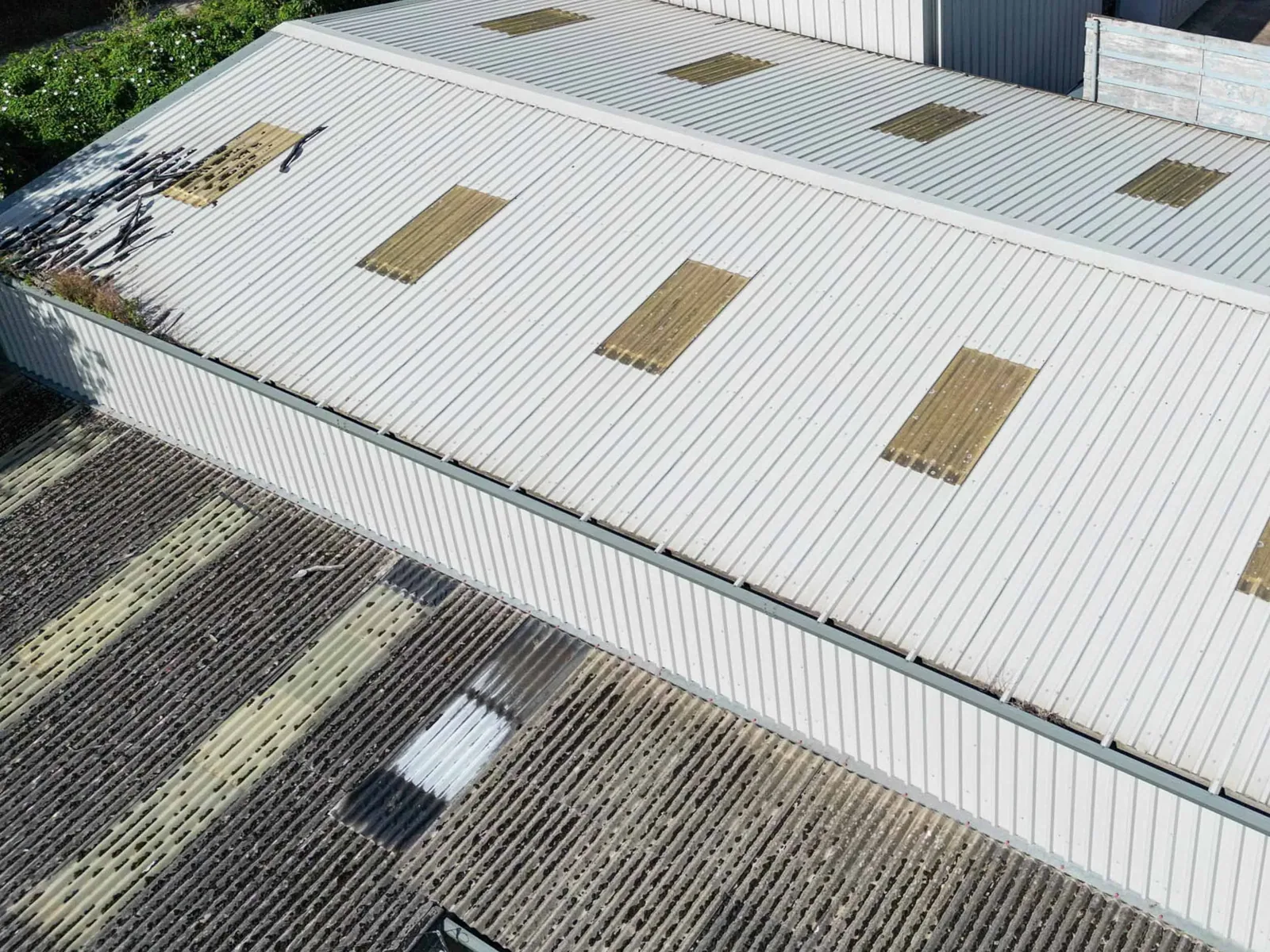
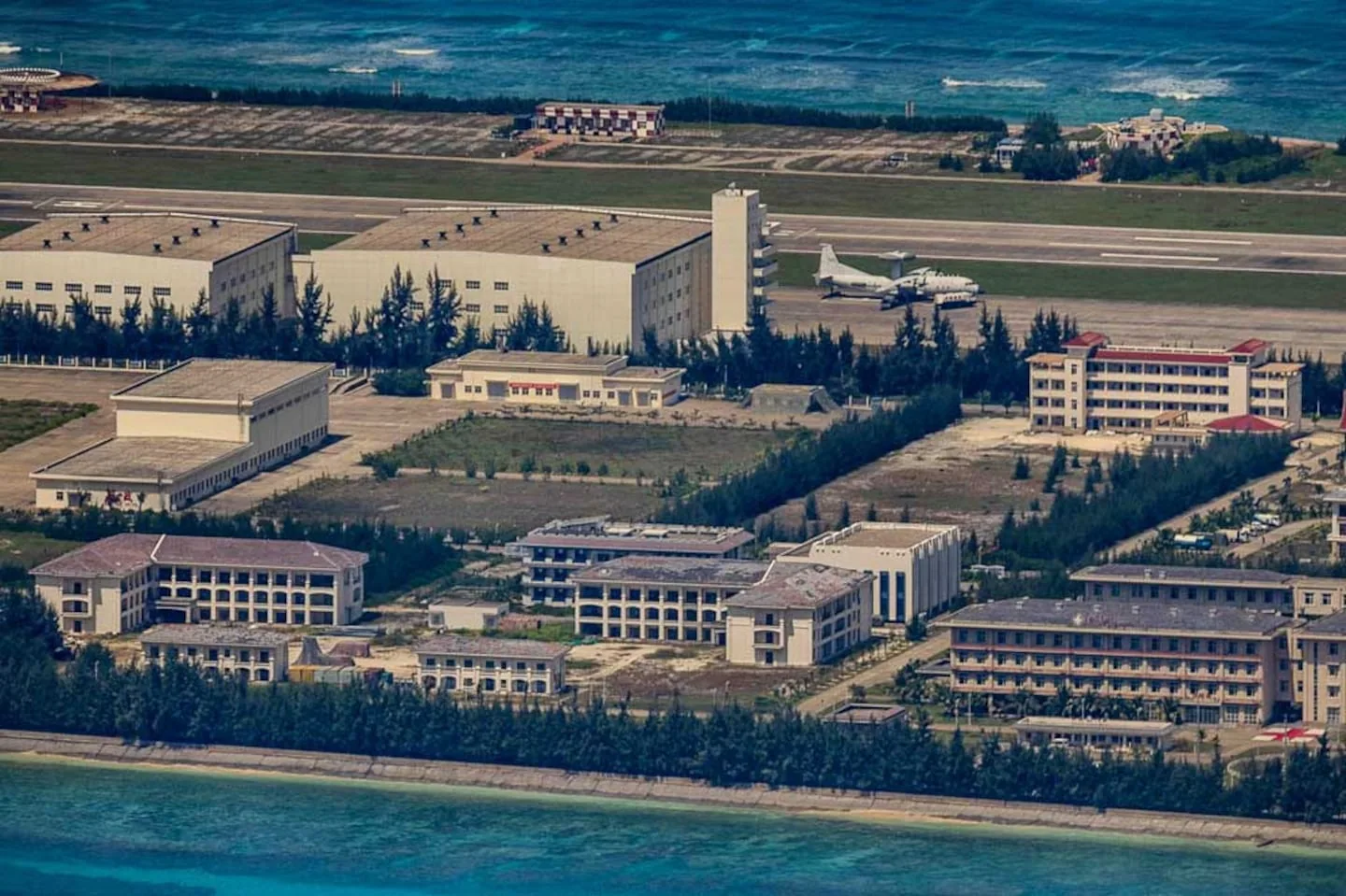
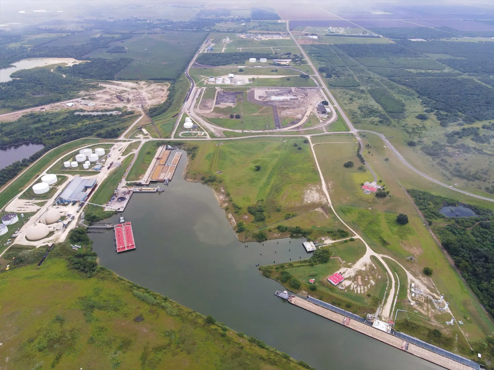
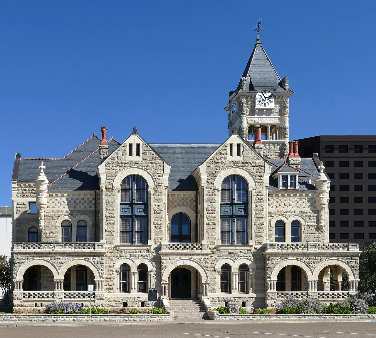
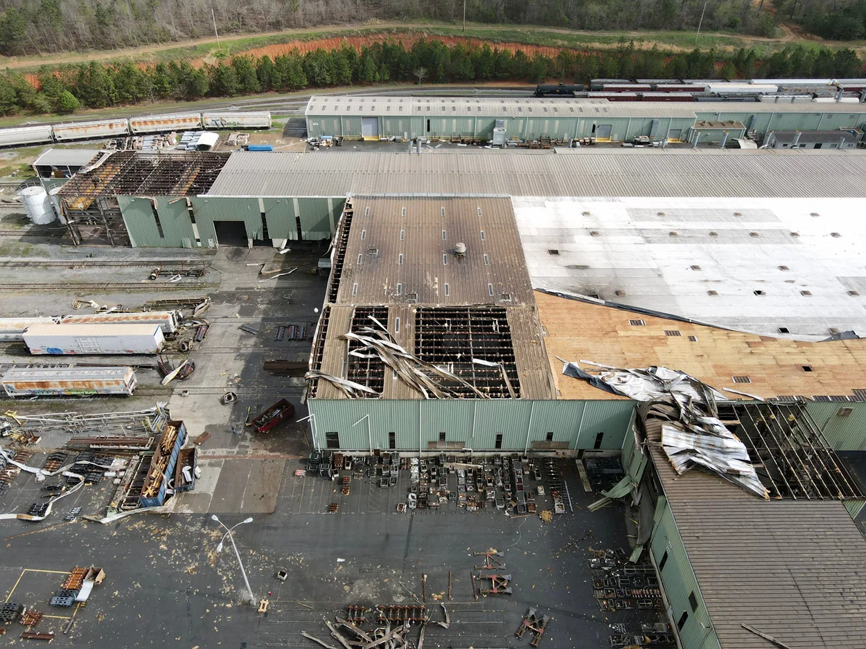
Aerial imagery can help a manager see the full roof before deciding where to send a crew. Our drone roof inspection in Victoria captures accessible surface patterns, roof sections, drainage paths, and hard-to-view transitions when site and flight conditions allow. That view can support planning for a large commercial structure near the Port of Victoria Industrial Park South or multi-building education properties across the Victoria service area, including Victoria College’s Emerging Technology Complex. A drone provides visual evidence from above; it does not confirm concealed moisture, attachment, material integrity, or the condition beneath a roof surface.
Drone Roof Inspection
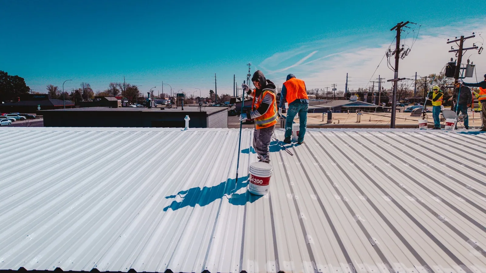
We first identify the question the imagery should help answer. Aerial review can map roof geometry, locate visible ponding or debris, compare sections after weather, document a large asset, or guide a closer inspection. It can also record a roof before planned repairs and provide a reference image for later comparison. It is not a substitute for a hands-on condition inspection when seams, flashing, fasteners, or wet materials need contact or testing.
Before the flight, the property contact identifies the building boundary, occupied areas, sensitive equipment, rooftop operations, and any site-specific restrictions. Industrial freight environments and education campuses often have different access and privacy expectations. The Port of Victoria's industrial park connects to barge, rail, and highway logistics; deliveries and active operations may shape safe staging. A campus with several structures may need roof sections and building names listed separately. We agree on the route and requested coverage before capturing images.
Existing plans, roof records, and prior photographs help orient the flight but may not reflect later additions or repairs. We compare those references with visible roof geometry, then label sections in the deliverable. If a roof is divided among tenants or buildings, the contact confirms which areas are included and whether adjacent structures may appear in the frame. The resulting set carries the owner's asset identifiers so images remain useful to maintenance staff after the site visit.
Choose an aerial inspection for a clear purpose
When conditions allow, the flight records roof edges, equipment clusters, skylights, drains, access points, visible patches, discoloration, debris, and surface changes. Overlapping views help orient an observation to a section rather than leave a manager with disconnected closeups. We keep the imagery focused on the roof and minimize incidental views of people, neighboring property, and sensitive operations. If wind, rain, glare, obstruction, or site access makes a view unreliable, we exclude it or identify the limitation.
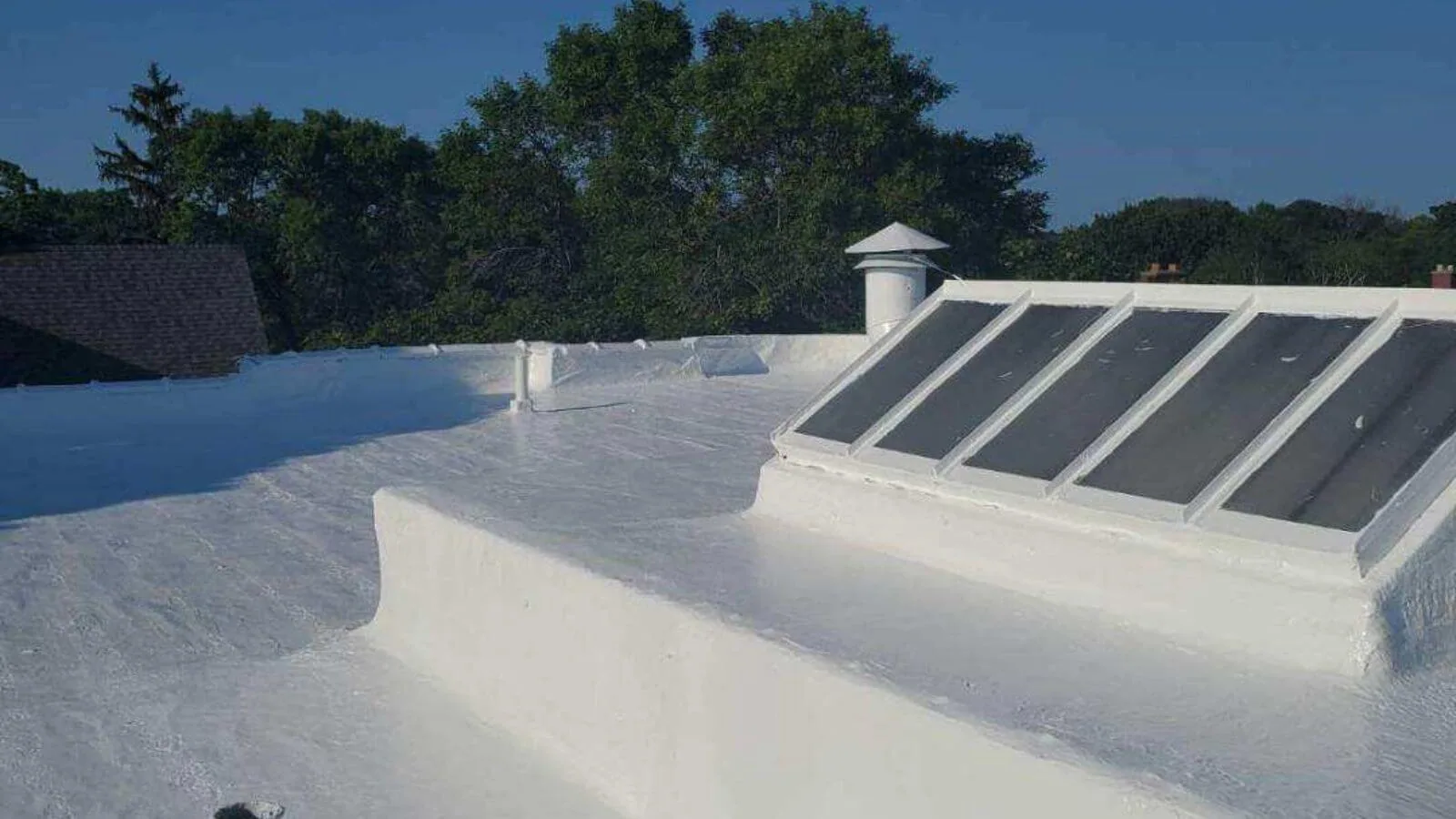
Useful aerial observations include a drain area with visible debris, a broad area of standing water, a displaced panel, a damaged ridge, or a change in coating appearance. Those observations guide a closer look; they do not prove why the condition occurred. Dark areas may reflect shadow, surface variation, retained water, or material change. We do not label a roof leak from an image alone. If a manager reports interior water, a commercial roof inspection can connect the room report to accessible roof details and determine whether testing is needed.
Flight angle and height affect the detail captured. A wide overhead image helps compare roof sections, while a lower oblique view can show edges and equipment relationships. Neither angle reliably reveals every termination or narrow seam. Mechanical units can obscure the membrane around curbs, and parapets can hide perimeter details. Our imagery identifies where the view ends so a reviewer does not mistake a blind spot for a clear condition.
For portfolios, a consistent roof label and capture date help compare different buildings or later visits. A roof condition report can place aerial views alongside ground observations, service history, and repair priorities. A survey may show that another visit should focus on a drain, wall, or equipment transition; the work order can then name that location rather than request a general roof review.
Capture broad patterns without overstating them
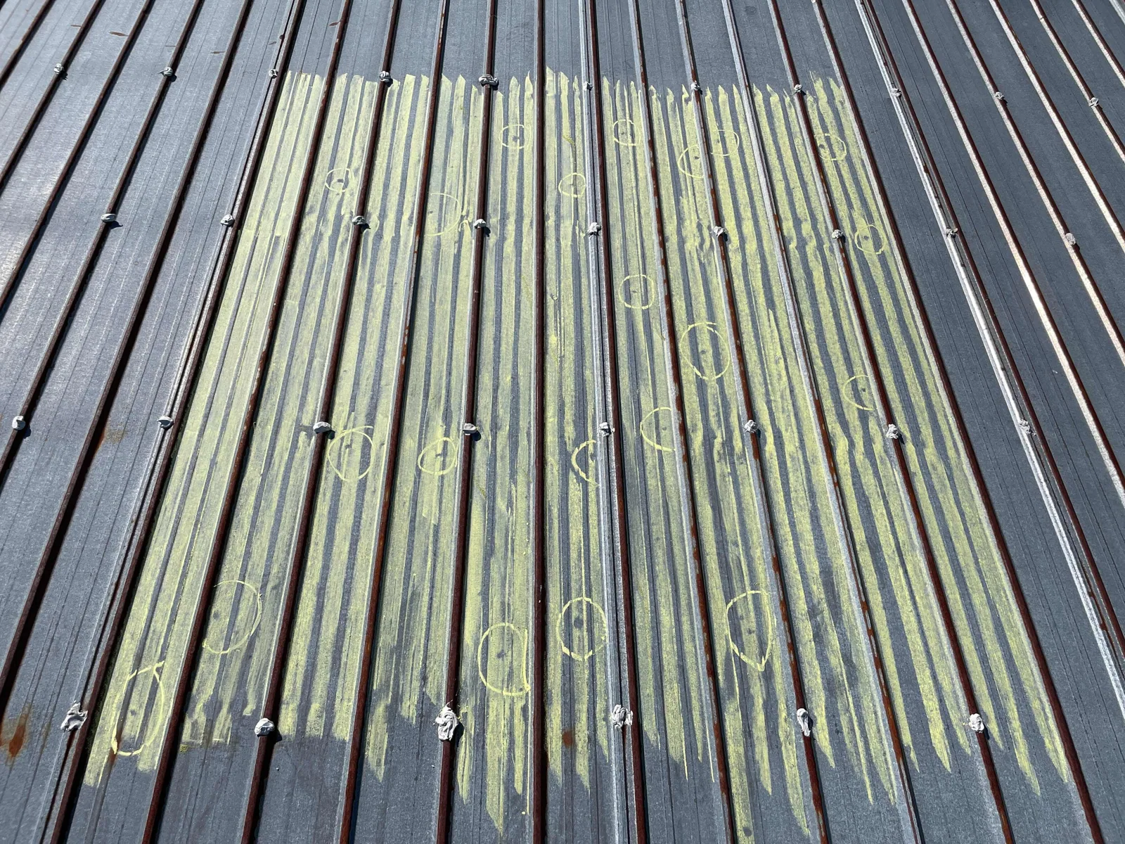
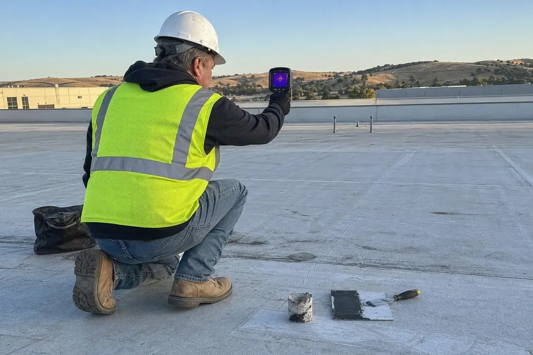
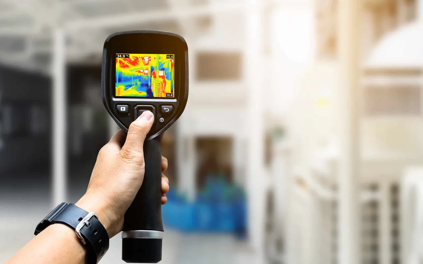
Images cannot test a seam weld, lift a flashing edge, probe an attachment, measure insulation moisture, or confirm deck condition. A thermal camera on a drone adds temperature data but does not turn an image into a moisture finding. Surface temperature depends on sun, shade, wind, material, recent rainfall, and operating conditions. A suspected anomaly needs interpretation and often a ground check. Our infrared moisture survey documents the method and recommends confirmation when a pattern could change the repair boundary.
Where a picture suggests a possible defect, we identify the roof section and the next action. That may be a close visual review, moisture scan under suitable conditions, test cut approved by the owner, or targeted repair investigation. A close inspection can distinguish a loose edge from a shadow, debris from a surface defect, or a wet area from a stain. If the owner does not authorize an opening, we preserve that limit in the report instead of treating the question as answered.
Some roof areas may not be visible because of equipment, parapets, trees, nearby structures, or flight conditions. We state the coverage and provide a list of exclusions. An image set cannot establish remaining service life or code compliance. When project design or attachment changes are under consideration, the owner should involve the appropriate design professional and review applicable City requirements. Drone review is one evidence-gathering method inside a broader maintenance or capital decision.
Pair aerial views with the right field check
The handoff can include dated overview images, labeled roof sections, selected detail views, visible-observation notes, and a coverage map. We identify areas where equipment or geometry blocked the view and note whether the flight was limited by conditions. The manager can use the labels to request a focused site inspection, compare before-and-after work, or record the general layout for a maintenance file.
For a reported leak, aerial views can help document the roof layout but do not identify the water pathway by themselves. We pair the imagery with the reported room, roof records, and field observations when those are in scope. If active water entry needs immediate attention, arrange a separate emergency roof response; the aerial documentation should not delay temporary protection.
Owners planning maintenance can combine the images with a preventive maintenance program that tracks debris, drainage, exposed transitions, and repeat observations. The record should preserve capture date and building identifier so the next reviewer can compare like areas. Where the roof has changed between visits, additions and removed equipment should be called out before someone interprets two images as a direct condition trend.
We close by stating what the images support and what they leave open. If a close test or physical repair is recommended, the manager receives a defined roof area and reason for the next visit. That makes the aerial review a practical planning step rather than an isolated set of pictures.
Deliver images that support a work order
Related Roofing Work
Frequently Asked Questions
What can a drone roof inspection show?
It can document roof layout, visible surface changes, equipment locations, drainage patterns, and hard-to-view areas when access and conditions permit. It cannot confirm hidden damage or moisture by image alone.
Can drone imagery find the source of a roof leak?
It may help locate visible conditions near a reported area, but water can travel within the assembly. A close inspection or targeted test is needed to establish a repair path.
Does a drone use infrared to prove wet insulation?
No. Temperature patterns can help select areas for follow-up, but weather, shade, surface, and operating conditions affect them. A qualified survey and confirmation method are needed.
Will you inspect every section of the roof?
We document the agreed coverage and identify sections blocked by equipment, geometry, weather, or site limits. The report lists any areas that still need access or close inspection.
Can you fly over an active industrial or campus site?
We coordinate with the property contact, follow site requirements, and proceed only when access and flight conditions are suitable. Some locations or operating windows may limit coverage.
Share the building address, roof map if available, site contact, operating restrictions, and the decision the images should support. We will define coverage, coordinate a suitable capture window, and identify where a closer inspection is still needed.
Call 555-555-5555 or email [email protected].